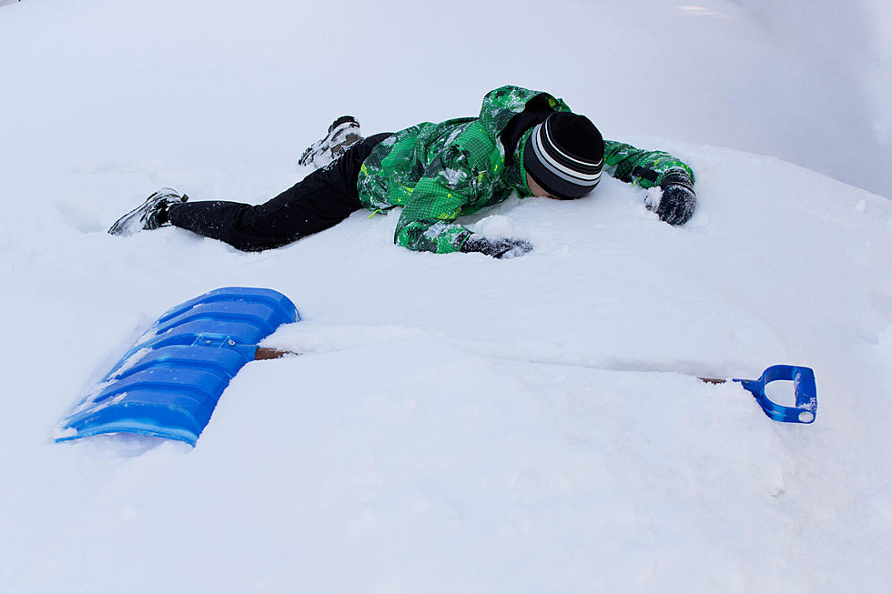
Blizzard Hits Bismarck….
Here's the latest Weather-Eye Weather Information: Blizzard Warning in effect until 10pm tonight...snow pretty much all day today with 5-8 inches expected.
As of Noon time:
26°F
FEELS LIKE 11°
HIGH 28
LOW 27°
Snow / Windy / Fog/ Steady Temperatures
Blizzard conditions are occurring at times.
Chance of Snow 100%
Past 24 Hours Snow:
6.2 in (est.)
Next 6 Hours:
Steady snow will fall through late afternoon. Cloudy with strong winds. Temperatures steady near the upper 20s. Winds NE at 25 to 30 mph. Additional snowfall of 2 to 4 inches through 5:00pm.
Today:
Snow and gusty winds will lead to blizzard conditions at times. Cold. High 28F. Winds NE at 25 to 35 mph. Additional snow accumulating 5 to 8 inches.
Tonight:
Snow this evening will transition to snow showers late. Low 27F. Winds NNW at 20 to 30 mph. Snow accumulating 2 to 4 inches.
Monday: Maybe another inch of snow during the daytime with a high of 33
Monday Night" 30% chance of snow possible with a Low of 14
THE WEATHER WILL GET BETTER COME TUESDAY!
Tuesday Mix of Sun & Clouds 26/19
Wednesday Cloudy 29/21
Thursday Mostly Sunny 32/11
Friday Mostly Cloudy with some sun breaks 29/25
Saturday a 30% chance of rain 38/28
Sunday Mostly Cloudy with some sun breaks 43/30
Next Monday Sunny 44/29
Next Tuesday Sunny 51/37
We will update the forecast when updates happen!
More From Cool 98.7 FM