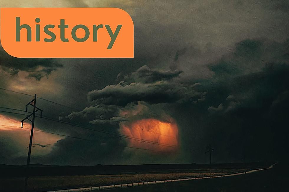
Severe Weather Possible Monday (7/27) For Bismarck Area
After a hot weekend, expect a very hot Monday with daytime highs in the upper 90s near the century mark in many areas of the state. With the hot weather comes unstable air and the likely hood of very severe weather for North Dakota and the Midwest.
Let's break it down for you. There is a strong storm system coming out of the Rockies and with enough energy, it can produce thunderstorms from the Canadian border down through Bismarck to Kansas. All of this unstable air will mix with the heat and humidity. This mix can produce severe storms, lightning, hail and tornados.
The major threat is Monday night as the storms can develop with little or no warning. Residents are urged to stay weather ready and informed.
Tuesday, expect much cooler temperatures and windy conditions.
More From Cool 98.7 FM


