Winter Storm Warning For Bismarck and The Region
The Nation Weather Service in Bismarck has upgraded and updated the late winter storm for the region.
The winter storm watch has been upgraded to a WINTER STORM WARNING going into effect from 12 a.m. Sunday through Tuesday.
The snow totals have been updated now since the system is within a 24 hour window, the NOAA has a better grip on the timing and snow totals for the area, and have included a BLIZZARD WARNING for portions of the state in the south region including the towns of Bowman, Elgin and Lemmon and into South Dakota.
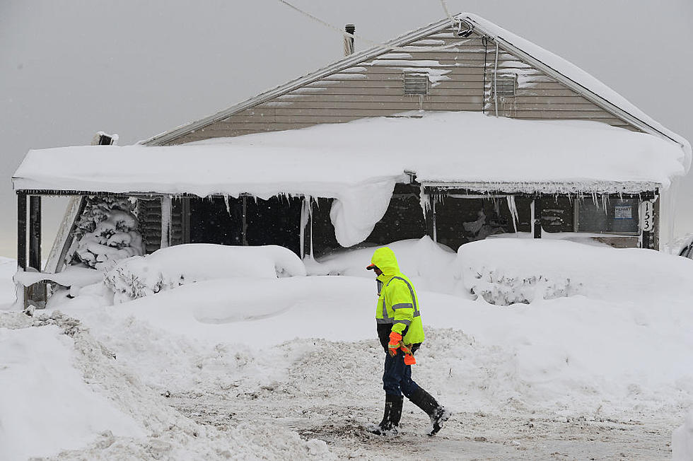
A Winter Storm Warning means significant amounts of snow, sleet and ice will make travel very hazardous or impossible. Travel will be impacted. Make plans now to have your travel plans complete before the main impact of this snow storm. Get update on roads by dialing 511.
The region can expect heavy mixed precipitation. Total snow accumulations of 7 to 11 inches, with localized amounts up to 12 inches, and ice accumulations of a light glaze are expected in portions of north central and south central North Dakota. Because of the rain Sunday before the snow in the south, this will be a wet and heavy snow in the Bismarck-Mandan region. More snow is expected north of I-94 towards Minot.
Counties included in the warning area include McHenry-Pierce-Oliver-Sheridan-Morton-Burleigh-Emmons. A WINTER ADVISORY remains for Jamestown and east of the Red River Valley to Fargo and beyond.
Plan on difficult travel conditions. Winds gusting as high as 35 mph will cause areas of blowing and drifting snow.
Be weather ready and informed with continuous weather updates live on the radio and at COOL987FM.COM.
More From Cool 98.7 FM