Impressive Rainfall Totals Saturate South-Central North Dakota
The Bismarck Bubble "burst" last night.
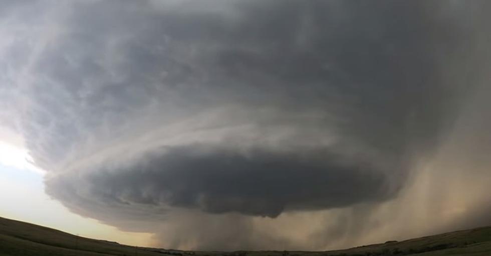
We received some much-needed precipitation across most of south-central North Dakota early Tuesday evening. Severe Thunderstorm Warnings were posted for parts of Burleigh County which brought heavy rain, 60-mile-per-hour winds, and quarter-sized hail. Some of these storms really packed a punch.
Rainfall totals ranged from 5 plus inches northwest of Center to about a quarter of an inch to areas south of Bismarck.
According to iweather.net here are the rainfall totals from last night's storm:
5 miles northwest of Nelson Lake-5.25 inches of rain.
New Salem-1.58 inches of rain.
Bismarck (city)-2.33 inches of rain.
Mandan-1.17 inches of rain.
Lincoln-1.82 inches of rain.
Bismarck (northwest corner of city)-3.39 inches of rain.
St. Anthony-.67 inches of rain.
Hazelton-.25 inches of rain.
Moffit-.62 inches of rain.
Washburn-.39 inches of rain.
Hazen-.61 inches of rain.
Beulah-.84 inches of rain.
Zap-1.36 inches of rain.
2 miles northeast of New Salem-2.43 inches of rain.
Menoken-.45 inches of rain.
Baldwin-1.79 inches of rain.
Wilton-1.31 inches of rain.
Center-1.42 inches of rain.
We have several more chances of rain for the Bismarck Mandan area the rest of the week and into the weekend. There's a slight chance for showers or storms this afternoon. Better chances for Friday and especially Friday evening that will linger into Saturday morning. Some of those storms on Friday could be on the strong side again.
I know harvest is in full swing, but I guess we will take the moisture when we can get it, as Bismarck Mandan was really starting to brown up prior to last night's rain.
LOOK: The most expensive weather and climate disasters in recent decades
Gallery Credit: KATELYN LEBOFF
See Inside The Most Expensive Lake Property On Devils Lake, North Dakota
More From Cool 98.7 FM


