Pounding Blizzard Set To Impact North Dakota
Blizzard Warnings have been issued for south central North Dakota.
Much of the rest of North Dakota has Winter Storm Watches posted and could likely be added to the Blizzard Warning area.
The Blizzard Warning begins at 6 am Tuesday morning and runs through midnight Wednesday evening.
This includes virtually all of our listening areas and includes the counties of Morton, Burleigh, Grant, Sioux, Emmons, Kidder, McLean, and Oliver. To include the cities of Hazelton, Linton, New Leipzig, Carson, Flasher, Bismarck, Mandan, Center, Wing, Steele, Sterling, and Moffit.
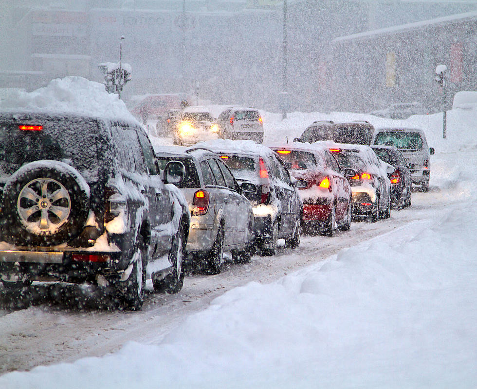
9 to 14 inches of snow accumulations are likely with localized higher amounts. Winds will be gusting to 60 miles per hour creating dangerous travel conditions.
The timing of the storm looks to affect your morning commute on Tuesday.
The snow in Bismarck looks to begin around 7 am and become heavy by noon. Winds will also increase throughout the morning and into the afternoon.
By Tuesday night, the snow will be heavy at times with widespread blowing snow. The snow will continue into Wednesday morning and should move out of the area by Wednesday afternoon.
Travel will be very difficult to impossible. Widespread blowing snow could significantly reduce visibility. Travel should be restricted to emergencies only. If you must travel have a winter survival kit with you. Notify a friend or family member of your travel plans. Officials remind you, if you do become stranded, do not leave your vehicle.
Unfortunately, this storm has the potential to really impact wildlife populations that are already struggling from a very long winter.
LOOK: 20 of the strangest natural phenomena in America
Gallery Credit: Martha Sandoval
5 North Dakota State Fish Records That May Never Be Broken
More From Cool 98.7 FM