Winter Weather To Return To Bismarck Mandan
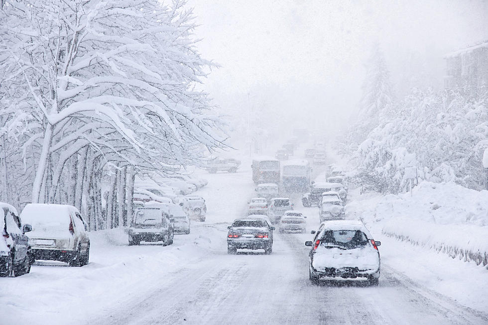
Looks like old man winter might have another storm in him. A special weather statement was issued by the NWS in Bismarck that could have us seeing up to 4 inches of snow. Timeline for snow looks like Wednesday night and Thursday. Parts of the state could see double that. Here's a map showing what we could see. This is after rain and maybe thunderstorms this afternoon and tonight.

Here's the latest forecast from the NWS:
Special Weather Statement
National Weather Service Bismarck ND
650 AM CDT Tue Mar 31 2020

NDZ001>005-009>013-017>023-025-031>037-040>048-050-051-312000-
Divide-Burke-Renville-Bottineau-Rolette-Williams-Mountrail-Ward-
McHenry-Pierce-McKenzie-Dunn-Mercer-Oliver-McLean-Sheridan-Wells-
Foster-Golden Valley-Billings-Stark-Morton-Burleigh-Kidder-
Stutsman-Slope-Hettinger-Grant-Bowman-Adams-Sioux-Emmons-Logan-
La Moure-McIntosh-Dickey-
Including the cities of Crosby, Bowbells, Powers Lake, Lignite,
Columbus, Portal, Mohall, Glenburn, Sherwood, Bottineau, Rolla,
Dunseith, Rolette, Shell Valley, St. John, Williston, New Town,
Stanley, Parshall, Minot, Velva, Towner, Drake, Rugby,
Watford City, Killdeer, Halliday, Beulah, Hazen, Center,
Garrison, Washburn, Underwood, Wilton, Turtle Lake, Mcclusky,
Goodrich, Harvey, Fessenden, Carrington, Beach, Medora,
Dickinson, Mandan, Bismarck, Steele, Tappen, Jamestown, Marmarth,
Mott, New England, Elgin, Carson, New Leipzig, Bowman, Hettinger,
Fort Yates, Selfridge, Solen, Linton, Strasburg, Napoleon,
Gackle, Lamoure, Edgeley, Kulm, Wishek, Ashley, Oakes,
and Ellendale
650 AM CDT Tue Mar 31 2020 /550 AM MDT Tue Mar 31 2020/

...WINTRY WEATHER RETURNS TO NORTH DAKOTA WEDNESDAY THROUGH
THURSDAY NIGHT...

Showers and a few thunderstorms are possible over western and
central North Dakota this afternoon and evening. A cold front will
push into central North Dakota late tonight bringing the
potential for light snow into the west. On Wednesday the snow will
spread slowly east but will mainly affect western into north
central North Dakota.

Another round of snow will spread across most of the state
Wednesday night through Thursday night. Much uncertainty remains
with the temperatures and the location of snow, but at this time
it appears much of the James River Valley has a high risk of at
least 4 inches of snow during this second round. Gusty northerly
winds will also produce patchy blowing and drifting snow mainly
over the south on Thursday.

Impacts to travel may occur. Continue to check back for the latest
forecasts.
More From Cool 98.7 FM