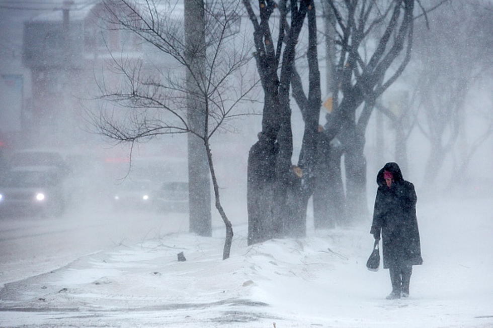
Winter Weather for Valentine’s Weekend; Winter Weather Advisory Posted
A Winter Weather Advisory in effect from noon (CST) today to 6 a.m. Sunday. A majority of the heaviest snow will take place West of Bismarck and State Highway 83. Bismarck could see between 1-3 inches.
The National Weather Service in Bismarck has issued a winter
weather advisory for accumulating snow, which will begin about 12 Noon today and continue through the night with accumulations of 6 inches in some areas, most areas will see 1-3 inches. Here's the break down-
* expect snow to develop around noon and then diminish around 6 AM
Sunday. This could develop into a snow/ sleet mixture at times.
* the heaviest snowfall rates will occur between 6 PM this evening
and around 3 AM on Sunday.
* total snow accumulations of 2 to 4 inches, with localized
amounts up to 6 inches, are expected.
* look for reduced visibilities at times.
* plan on slippery road conditions.
The wind with blowing snow can reduced visibilities so travel could be impacted. A winter weather advisory for snow means periods of snow will cause primarily travel difficulties. Be prepared for snow covered roads and limited visibilities, and use caution while driving. Winds tonight will be between 20 and 35 MPH.
There is a FREEZING RAIN ADVISORY to the West including Beach, Dickenson, Bowman and Lemmon. These conditions will impact travel.
The areas in the winter weather advisory include
- Bismarck
- Mandan
- Jamestown
- Ashley
- Ft Yates
- Minot
- Steele
More From Cool 98.7 FM